
RED PINE TRAIL Condition Report
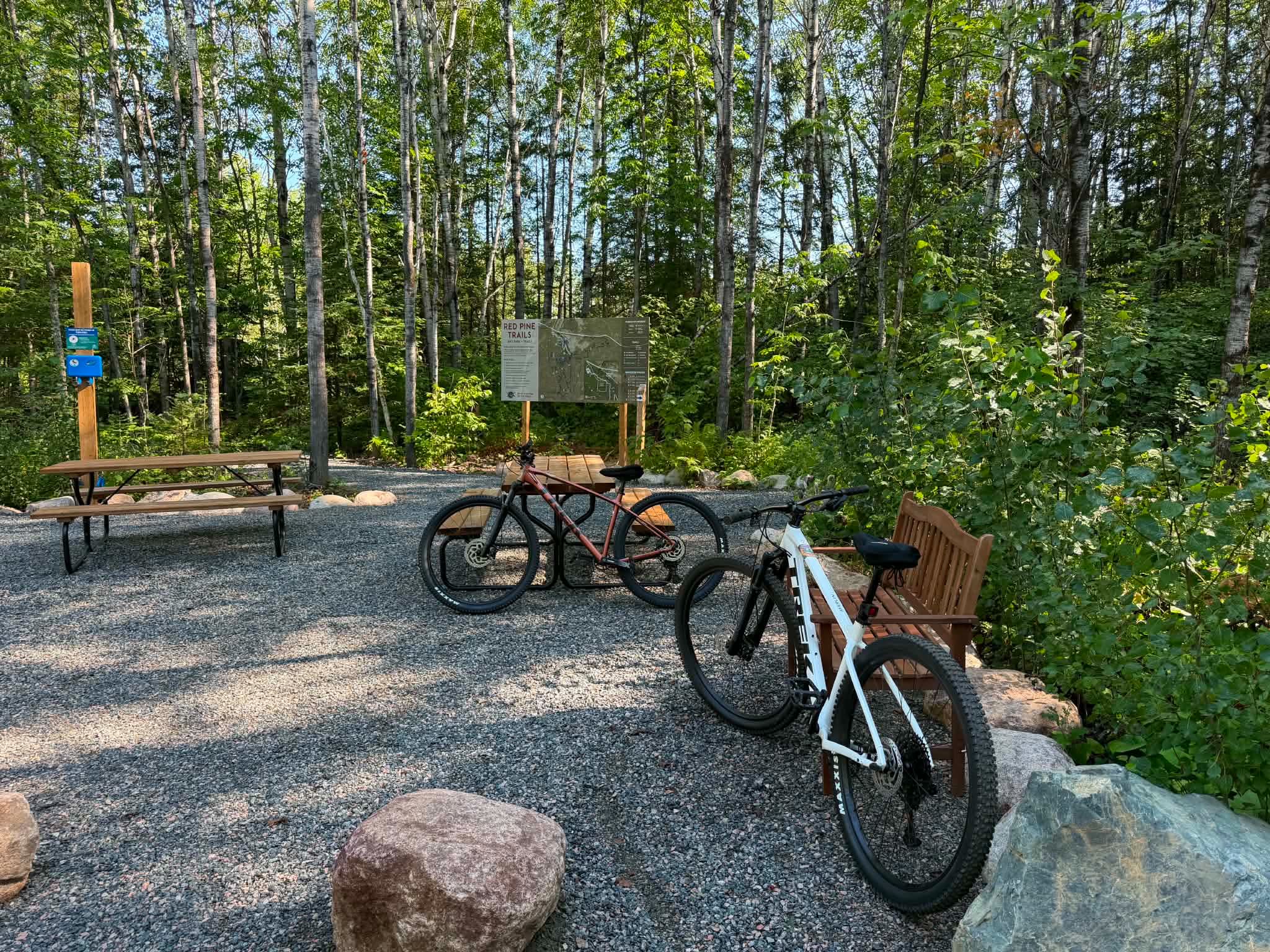
You may notice something new at the Red Pine trailhead!
Our trail map has been installed and recently updated to reflect the closure of the former Quarry loop near the Lookout. The route is now out-and-back only, taking you to the Quarry Lookout before returning the same way. The closed section is highlighted in yellow on the new map.
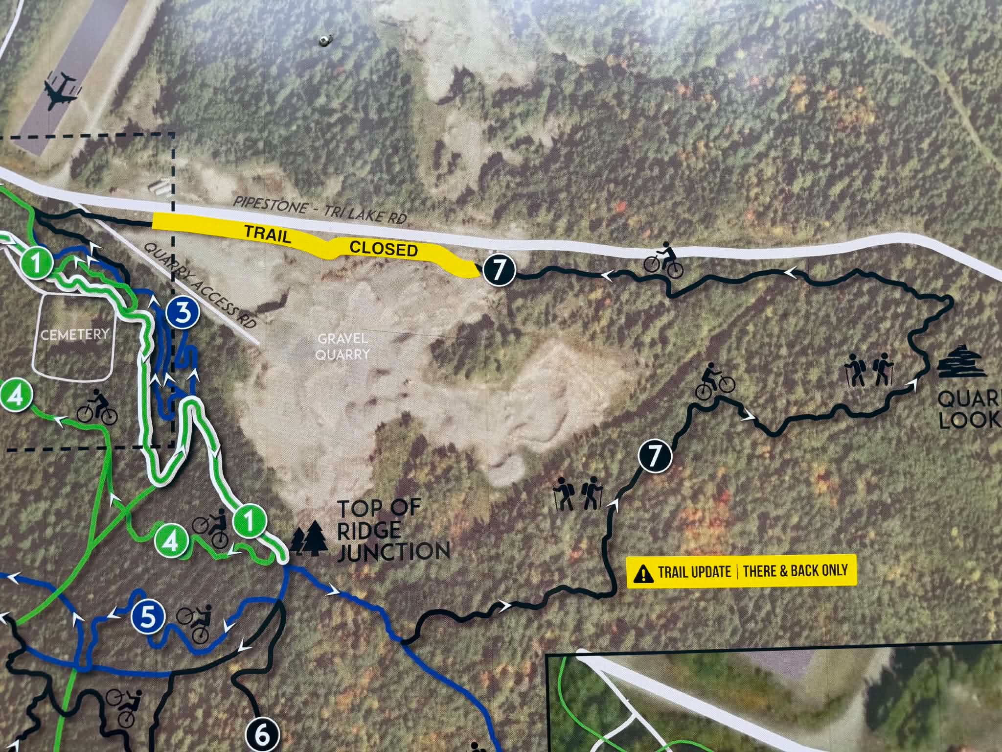
We know some of the signage along the trail still needs to catch up with the new routes, so additional directional signage is on our radar. In the meantime, please follow the updated trail map and posted closure signage. Google Map is great to have in pinch, if you find yourself spun around inside the bike park.
Trail Conditions:
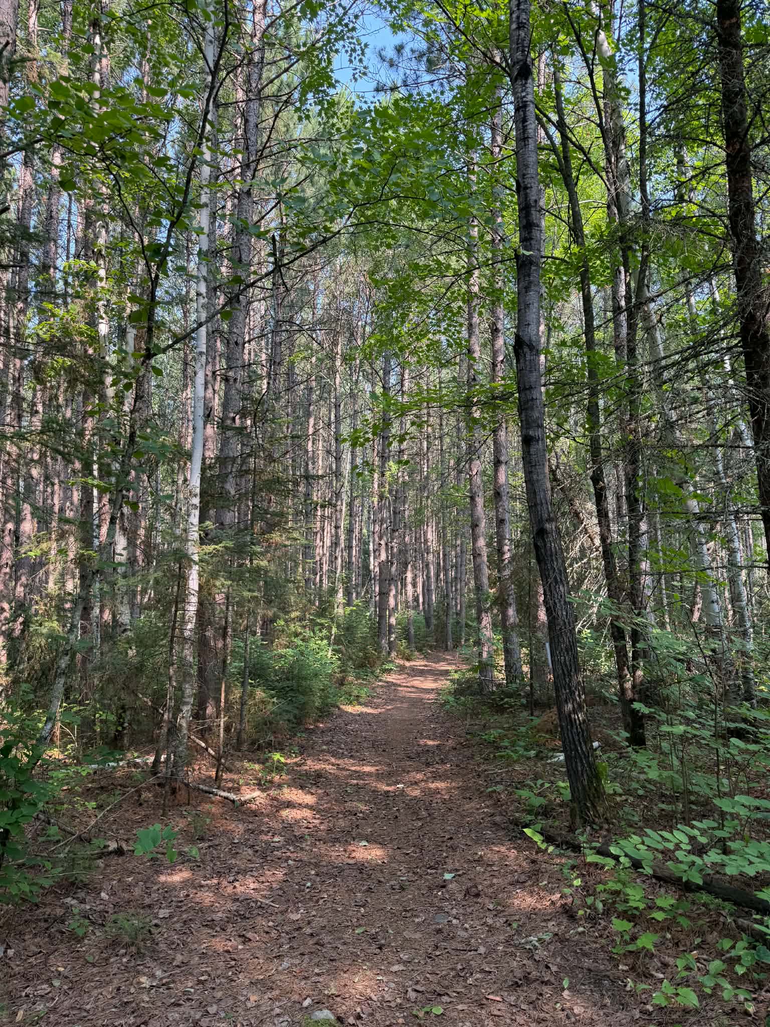
After the recent rain, expect a few muddy sections along the newer Connection Trail. Much of the back bike trail is draining well, but as the new construction settles, a few problem spots are starting to show themselves. We’ll continue monitoring these areas and address them with improved drainage where needed. For now, expect a little mud as the trail finds its footing!
Otherwise, Red Pine is looking good with no downed trees currently reported.
See something we should know about? Send us a message at trails@snnf.ca.
Happy trails!